
SDMM Expands Reality Capture Capabilities with LiDAR Drone Technology
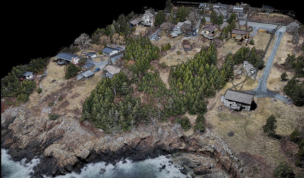
SDMM is excited to announce they are back in the air again, this time with LiDAR. We have added the DJI Matrice 400 + Zenmuse L3 lidar payload to our toolset.
This incredible new drone technology extends our surveying and reality capture capabilities in many meaningful ways, including:
- Safer stockpile surveys
- Faster topographic survey data acquisition over large areas and corridors
- Complete measured data for tall structures beyond the reach of our terrestrial and mobile scanners
- Rapid coastline and flood plain mapping
- Remote data collection over hazardous sites
Mapping-Grade Data, Verified and Trusted
As always, SDMM assesses any new technology through the lens of surveying rigor and best practices to ensure we deliver the highest quality, measured information possible to support our clients’ investments.
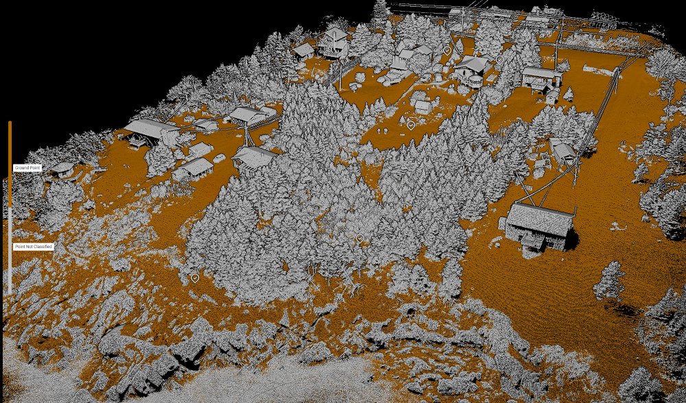
We’ve been busy testing this new tool, developing trusted workflows and safety procedures, and validating the data it provides against known survey data.
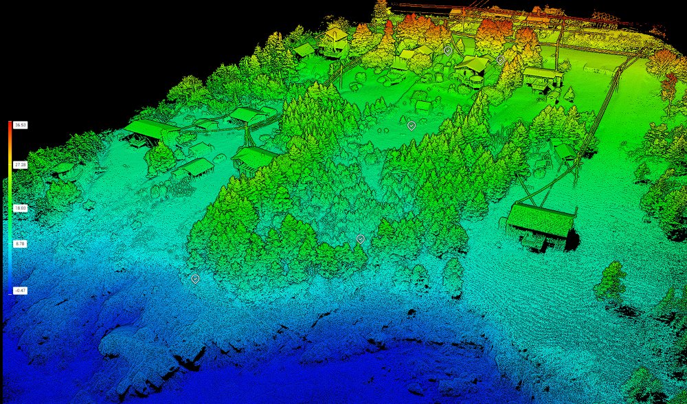
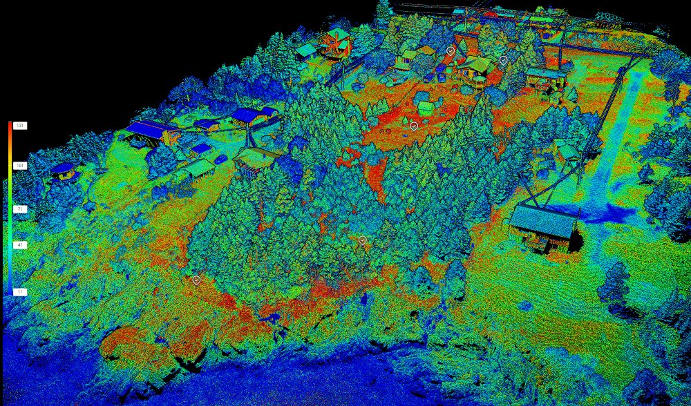
The results are nothing short of fantastic! The data is visually rich, the ground information is RTK-GPS quality, and the speed of acquisition is impressive.
Applications of Drone LiDAR for the AEC Industry
This is the best option for:
- Early-stage land development and design
- Earthwork inspection and monitoring
- Stockpile quantity takeoffs
- Mining applications
- Corridor surveys
- Bridge and dam inspections
Why Drone LiDAR Matters for Modern Projects
Drone-based LiDAR complements traditional surveying, 3D laser scanning and reality capture workflows by:
- Expanding reach beyond line-of-sight limitations
- Reducing risk in hazardous environments
- Accelerating large-scale data collection
- Providing complete, measurable datasets for better decision-making
This aligns with industry best practices in reality capture, BIM workflows, and digital twin development.
Talk to Our Team
SDMM has been innovating and integrating lidar technologies since 2011. We have the tools, workflows, and professionalism to support even the most demanding projects. Reality Capture Services are core to our business, and we have delivered on a thousand+ projects across Atlantic Canada.
Reach out to learn more about how our new integration can enhance your next project.
Our certified pilots are standing by.